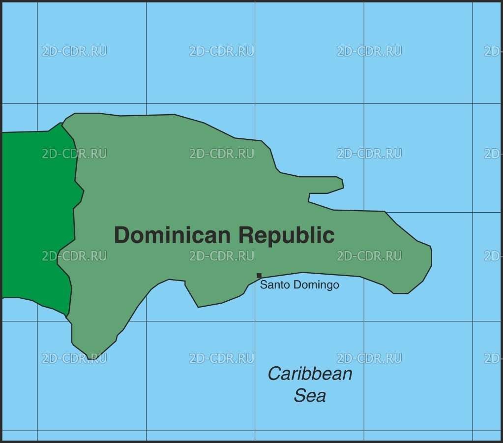
Introducing our vibrant vector illustration of the Dominican Republic, which is perfect for travel enthusiasts, educators, and designers! This detailed SVG and PNG image shows the geographical layout of this beautiful Caribbean country, highlighting key areas such as Santo Domingo and the surrounding Caribbean Sea. With clean lines and clear markings, this vector map is ideal for use in presentations, educational materials, or as a decorative element in blogs or travel websites. The flexibility of the SVG format makes it easy to scale without losing quality, making it ideal for both print and digital use. Whether you're creating informative content about geography, tourism, or cultural exploration, these vector graphics will enhance the visual appeal of your project. This is an essential resource for anyone who wants to add a little Caribbean flair to their design portfolio.

Vector map of the Dominican Republic-SVG and PNG formats
